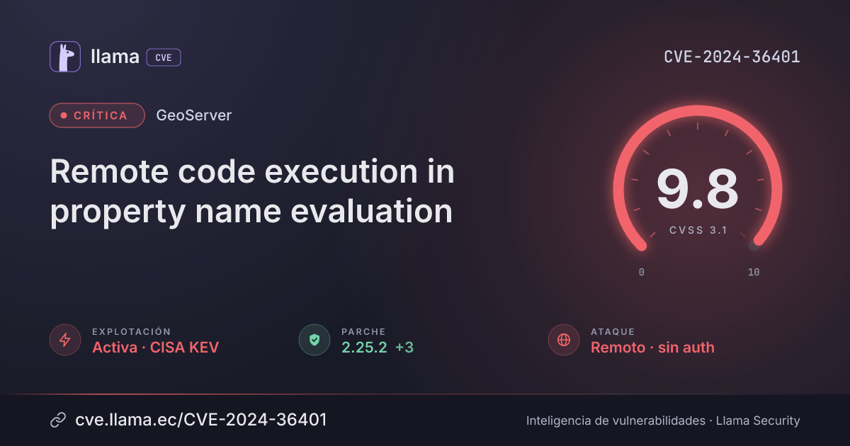
CVE-2024-36401
Remote code execution in property name evaluation
Unauthenticated attackers can run arbitrary code on the server via crafted requests and may take full control.
CVSS:3.1/AV:N/AC:L/PR:N/UI:N/S:U/C:H/I:H/A:H
Fuente: CNA
Ciclo de vida de la vulnerabilidad
| Fecha | Fase | Evento | Detalle |
|---|---|---|---|
| Divulgación | Publicada | CVE-2024-36401 divulgada · CVSS 9.8 (CNA) | |
| Explotación | CISA KEV | Agregada al catálogo de vulnerabilidades explotadas | |
| Remediación | Plazo KEV | Fecha límite de remediación para agencias federales (EE. UU.) | |
| Divulgación | Modificada | Última actualización del registro | |
| Explotación | Umbral EPSS | La probabilidad de explotación supera el 10 % | |
| Monitoreo | Detectada | Ingresó al índice | |
| Monitoreo | Verificada | Última verificación contra las fuentes |
GeoServer, the open source server for sharing and editing geospatial data, has a flaw that lets an attacker run arbitrary code on the host by sending crafted request parameters, remotely and without logging in. It affects default installations through web requests such as WFS, WMS and WPS calls, and the bug is listed as exploited in attacks by CISA.
GeoServer releases before 2.22.6, 2.23.6, 2.24.4 or 2.25.2 (by release line) are exposed, including default installs, via WFS, WMS and WPS requests. Fixed in 2.22.6, 2.23.6, 2.24.4 and 2.25.2.
Descripción original del registro
GeoServer is an open source server that allows users to share and edit geospatial data. Prior to versions 2.22.6, 2.23.6, 2.24.4, and 2.25.2, multiple OGC request parameters allow Remote Code Execution (RCE) by unauthenticated users through specially crafted input against a default GeoServer installation due to unsafely evaluating property names as XPath expressions. The GeoTools library API that GeoServer calls evaluates property/attribute names for feature types in a way that unsafely passes them to the commons-jxpath library which can execute arbitrary code when evaluating XPath expressions. This XPath evaluation is intended to be used only by complex feature types (i.e., Application Schema data stores) but is incorrectly being applied to simple feature types as well which makes this vulnerability apply to **ALL** GeoServer instances. No public PoC is provided but this vulnerability has been confirmed to be exploitable through WFS GetFeature, WFS GetPropertyValue, WMS GetMap, WMS GetFeatureInfo, WMS GetLegendGraphic and WPS Execute requests. This vulnerability can lead to executing arbitrary code. Versions 2.22.6, 2.23.6, 2.24.4, and 2.25.2 contain a patch for the issue. A workaround exists by removing the `gt-complex-x.y.jar` file from the GeoServer where `x.y` is the GeoTools version (e.g., `gt-complex-31.1.jar` if running GeoServer 2.25.1). This will remove the vulnerable code from GeoServer but may break some GeoServer functionality or prevent GeoServer from deploying if the gt-complex module is needed.
Condiciones y alcance
Desglose de métricas
Rangos afectados
Estado del parche por paquete
| Paquete / producto | Estado | Corregida en | Desde divulgación | Última versión |
|---|---|---|---|---|
geoserver |
Corregida | 2.22.6, 2.23.6, 2.24.4, 2.25.2 | — | — |
2.22.62.23.62.24.42.25.2Arsenal público
Sin exploits, módulos ni PoC públicos conocidos a la fecha de verificación.
https://github.com/geoserver/geoserver/security/advisories/GHSA-6jj6-gm7p-fcvvhttps://github.com/geotools/geotools/security/advisories/GHSA-w3pj-wh35-fq8whttps://github.com/geotools/geotools/pull/4797https://github.com/Warxim/CVE-2022-41852?tab=readme-ov-file#workaround-for-cve-2022-41852https://osgeo-org.atlassian.net/browse/GEOT-7587Las referencias externas se muestran para copiar: cve.llama.ec no lo redirige a otros sitios.